50/50 Weekend on the Way as We Track Our Next Storm
SPRINGFIELD, Mass. (WGGB/WSHM) - We saw a sunny and mild day across western Mass to end the week, though blustery. Winds continue to diminish this evening and tonight in the valley, but a healthy breeze will linger over the higher elevations. Skies stay mostly clear tonight with scattered clouds building in from the northwest after midnight. Temperatures fall to the lower 30s for most by sunrise.
Saturday will be a dry, seasonably mild day with highs returning to the upper 40s for many, so a bit cooler than Friday. A dry front will move through during the day and we will see a mix of sun and clouds with more clouds building at the end of the day. Breezes shift to the north and remain moderate at around 5 to 10mph with a few gusts in the afternoon to 15mph.
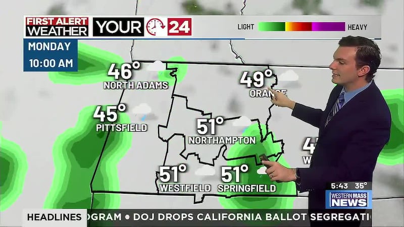
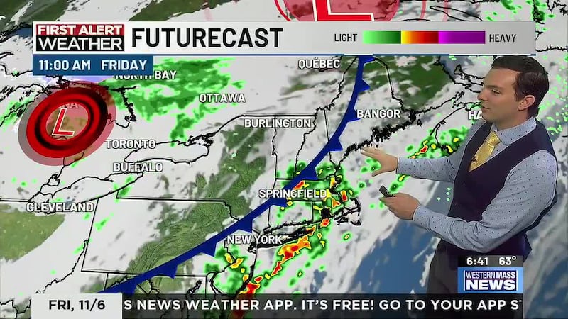
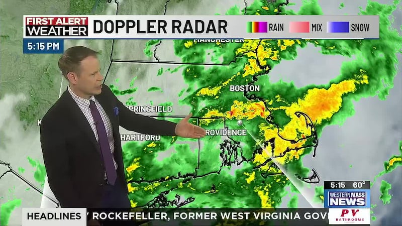
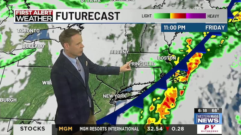
Clouds hang tough Sunday and rain rolls in later in the afternoon and evening as a powerful low moves up the coast. Our next storm system will impact the Northeast Sunday night into Monday with heavy rain and gusty breezes
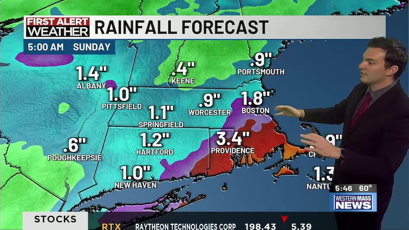
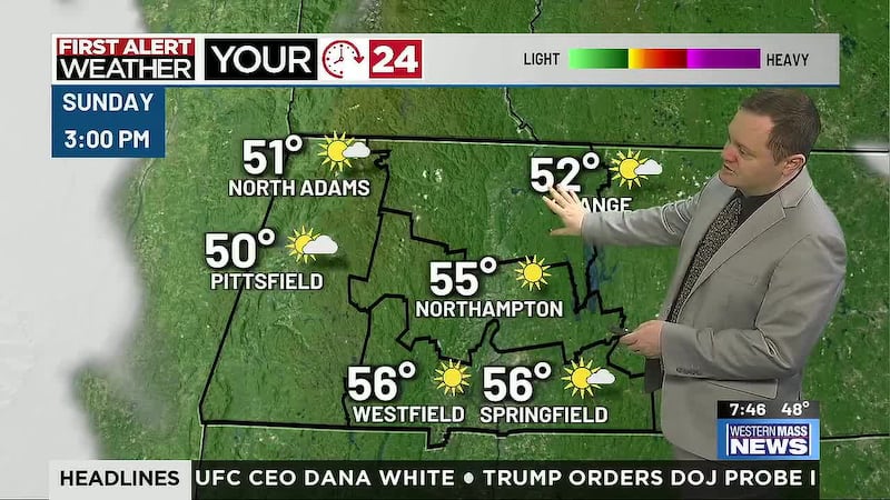
Sunday begins cloudy and chilly with temperatures near freezing, then increasing breezes out of the south-southeast will eventually pull us into the 40s. The highs for the day occur Sunday night with low 50s near midnight. Rain showers begin Sunday afternoon with occasional heavier showers mixed in. The heaviest rain arrives overnight into Monday morning, impacting the commute with ponding on roads, minor street flooding and reduced visibility. Rain gradually turns to scattered showers and lightens Monday, tapering off in the afternoon and evening. Rain totals should range from 1.5 to 3.5 inches with the eastern slopes seeing the most. Flood Watches are likely.
Wind will increase overnight out of the Southeast, so the highest gusts will be felt along the eastern slopes of the Berkshires and Worcester hills of 30-40mph. By Monday morning, gusts in the valley should increase to at least 30mph with higher spots getting gusts to 40-45mph. Wind lightens later in the morning and shifts to the Southwest, then West with gusts 20 to 40mph through Monday evening. Spotty power outages are possible, especially in the hill towns.
Seasonable, brisk weather returns Tuesday with a few lingering rain and snow showers possible. Sunshine is back with high pressure Wednesday through Friday and dry weather looks to last possibly through Christmas Day with seasonable temperatures.
Copyright 2023. Western Mass News (WGGB/WSHM). All rights reserved.