Rain, Storms Move Out and Beautiful Weather Moves in for the Weekend
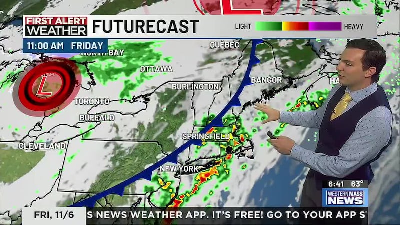
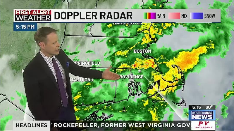
SPRINGFIELD, Mass. (WGGB/WSHM) - A busy weather day for the Pioneer Valley as most have seen 3 rounds of rain and thunderstorms today. Thunderstorms Friday afternoon brought intense rain and small hail along with gusty wind. Some significant flooding was reported in Holyoke.
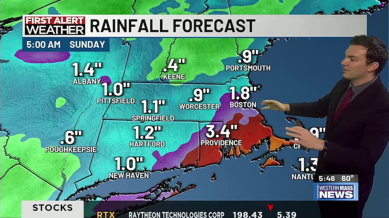
The last batch of storms produced a light show along with more torrential rain, leading to numerous reports of street flooding in Hampden and Hampshire Counties. Rain totals for the day were as low as trace amounts in parts of the hills, northern Berkshire and western Franklin Counties and as high as 3.75 inches in Chicopee, 3.28″ in Holyoke, and over 1-2″ for many other towns and cities near and south of the Mass Pike!
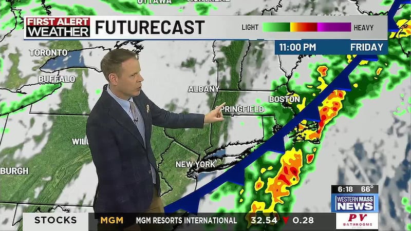
Showers and thunderstorms continue moving east with a cold front and drier air is building in behind it. A few showers may linger past midnight, but skies will be partly cloudy to clear by sunrise.
BEAUTIFUL WEEKEND! High pressure building in from Canada will bring us a beautiful weekend with very dry air allowing for sunny, seasonable days and clear, crisp nights. Breezy Saturday with a northerly breeze around 10-15mph. Winds diminish Saturday evening and night and with very low dew points in place, temperatures drop into the middle and upper 40s through Sunday morning!
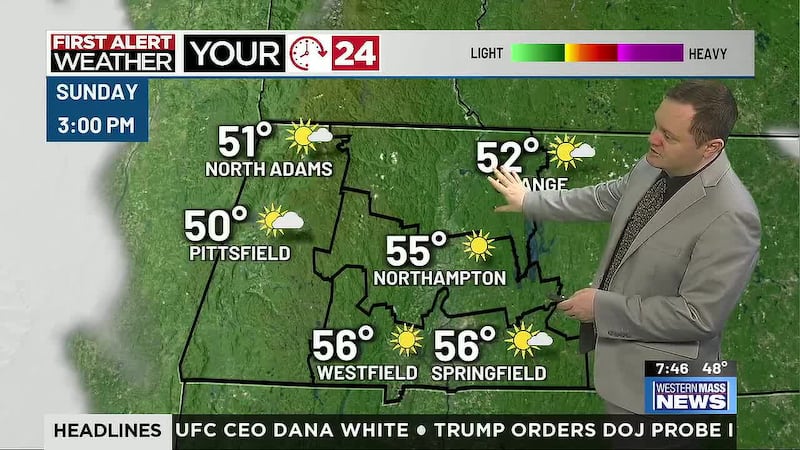
Sunday will be a mainly sunny day with highs again around normal and a lighter breeze.
Dangerous heat and humidity on the way!
Next week our focus shifts to a ridge of high pressure building into the Northeast. Temperatures are warmer Monday, but humidity is still comfortable. Changes begin Tuesday with dew points climbing into the 60s and highs possibly getting to the lower 90s as the ridge nears New England. Peak heating is likely Wednesday to Friday with daytime highs around 95-100 degrees and a heat index possibly topping 105. Nights will be very humid and warm, so things won’t cool down much. Dangerous levels of heat will impact the entire region for at least 3 days, if not longer.
The ridge will start shifting at the end of the week, but temperatures and humidity continue to stay high. With the shift, more unsettled conditions return and late-day showers and thunderstorms become possible from Friday into the weekend. Temperatures should drop back below 90 by late in the weekend or early the following week!
Copyright 2024. Western Mass News (WGGB/WSHM). All rights reserved.