Staying Hot and Humid this Weekend with Storms Saturday
SPRINGFIELD, Mass. (WGGB/WSHM) - Tropical levels of humidity across the area today! At one point during the afternoon, highs hit the upper 80s in Springfield with a heat index of 97!
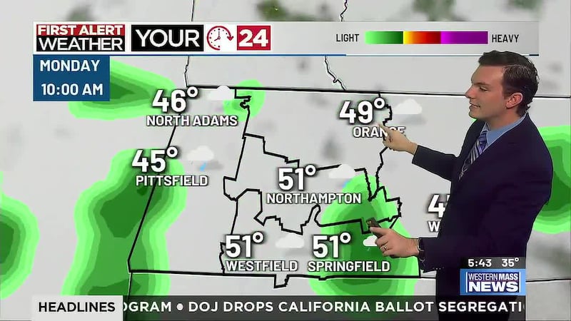
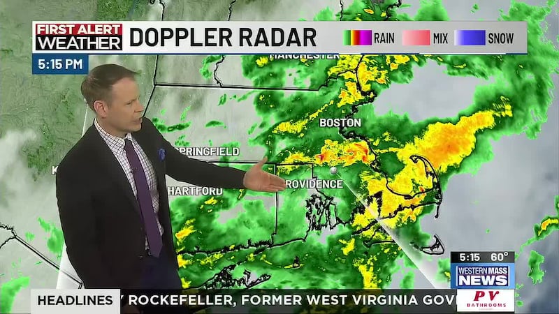
Downpours and thunderstorms hit much of western Mass during the afternoon and evening, minus central and eastern Hampden County. A few showers or a downpour remain possible overnight. Warm and humid overnight with lows around 70. Some fog and mist are possible along with a lot of clouds.
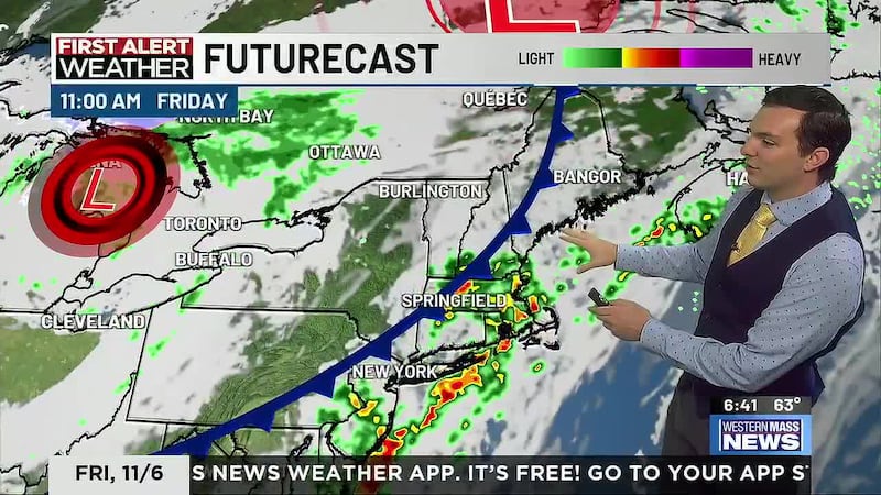
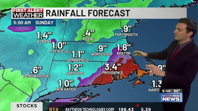
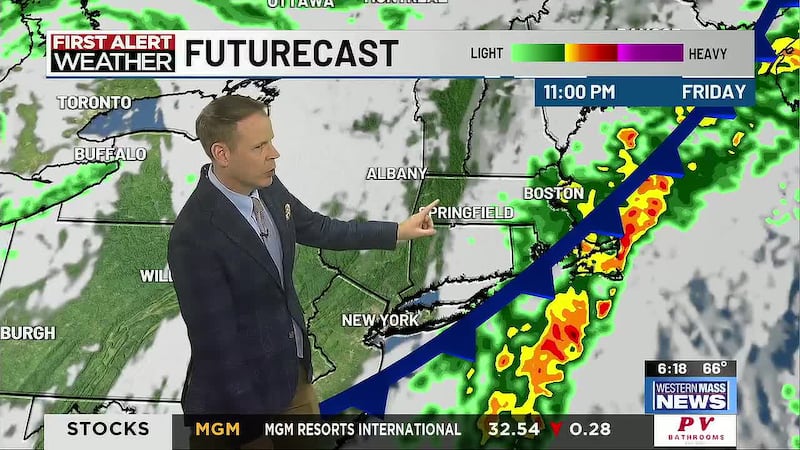
A disturbance will bring another big batch of rain and some imbedded thunderstorms back to western Mass Saturday morning. Humidity remains high and some sun should break out in the afternoon, bringing highs back to the lower and middle 80s. Isolated, pop-up showers and thunderstorms are possible throughout the afternoon and evening.
Sunshine returns Sunday and Monday with highs approaching the lower 90s both days. It does stay humid, but dew points come down a bit from Saturday.
A front approaches later Tuesday, bringing back the chance for showers and thunderstorms along with another bump in humidity. The front may stall over the area mid to late week, which would keep our weather steamy and soggy with continued rain chances. We will also need to monitor remnants of Beryl, which could be pulled along the front.
Copyright 2024. Western Mass News (WGGB/WSHM). All rights reserved.