Heavy Rain Chance Through Saturday
SPRINGFIELD, Mass. (WGGB/WSHM) - Humidity was back up today, but temperatures remained shy of 90 degrees, bringing an end to this current heat wave.
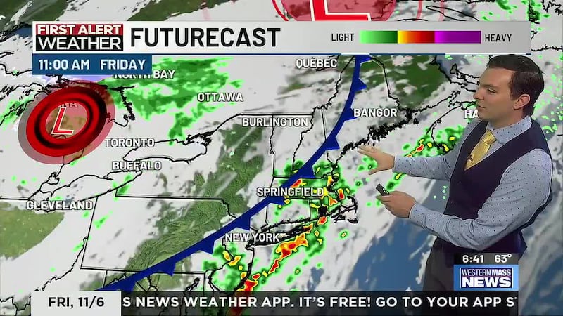
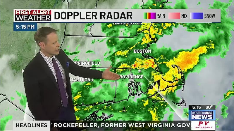
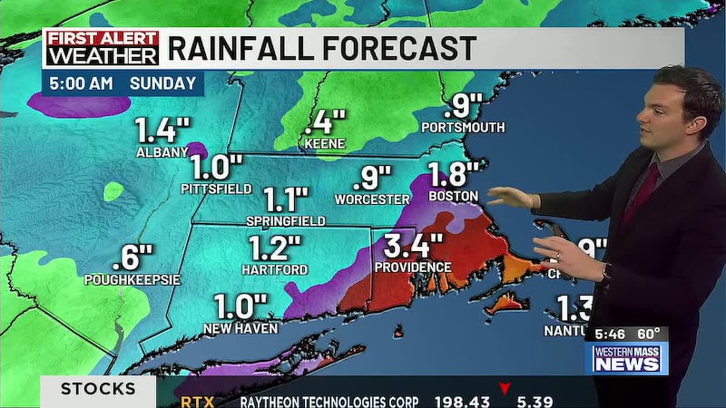
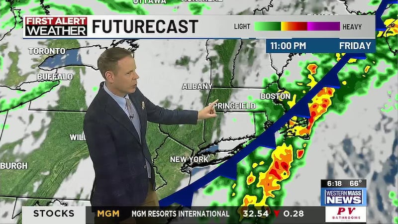
Tropical moisture moving along a stalled front will bring a chance for heavy rain overnight through Saturday morning for all of southern New England. For western Mass, it’s a tough call on how much rain we see with as little as a tenth of an inch from scattered showers to as much as 2+ inches from downpours and thunderstorms. There’s certainly a chance a lot of the heavier rain misses us to the southeast.
For now, a Flood Watch is in effect for nearly all of western Mass from 5am Saturday morning until the afternoon for the potential for flooding due to excessive rain. If flooding occurs over our area, it will likely be minor for most, but isolated flash flooding can’t be ruled out if some heavy rain bands set up here.
Rain chances diminish in the afternoon, but a cold front may spark a few more showers and thunderstorms before sunset. Severe weather is unlikely. Warm and humid with highs in the 80s.
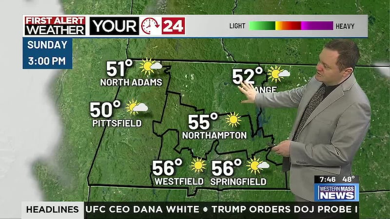
A ridge of high pressure builds back into the Northeast, setting us up for another stretch of 90+ degree days and the threat for dangerous heat and humidity. Sunday will be mostly sunny and hot with highs hitting the lower 90s, but humidity won’t be too rough. That changes Monday to Wednesday as dew points return to oppressive levels along with high heat. Heat Advisories are looking likely again for the Pioneer Valley at least.
While hot, humid weather will dominate the headlines early next week, there’s also a risk for a few rounds of strong thunderstorms Monday to Wednesday, mainly in the afternoon and early evening. A front will be pushing through late Wednesday, which looks to be followed by a much-needed break in heat and humidity to end the week!
Copyright 2024. Western Mass News (WGGB/WSHM). All rights reserved.