Fall-Preview Rest of the Week
Cooler and Much Less Humid Through Friday!
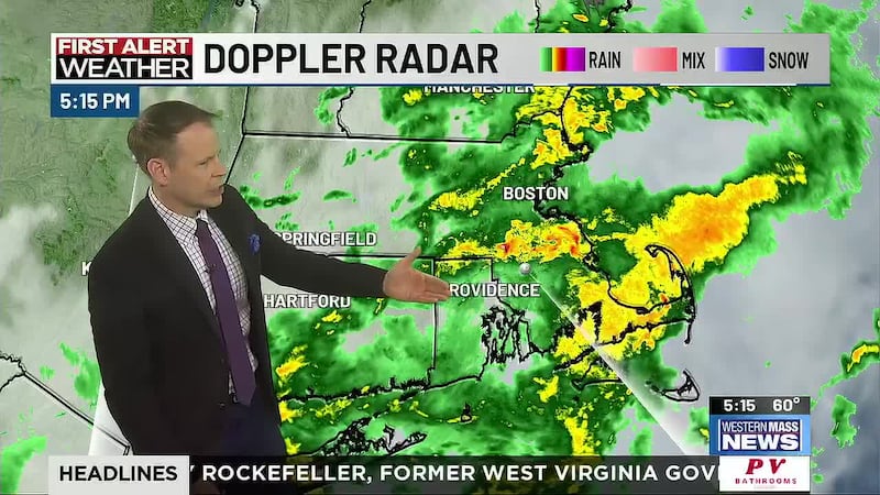
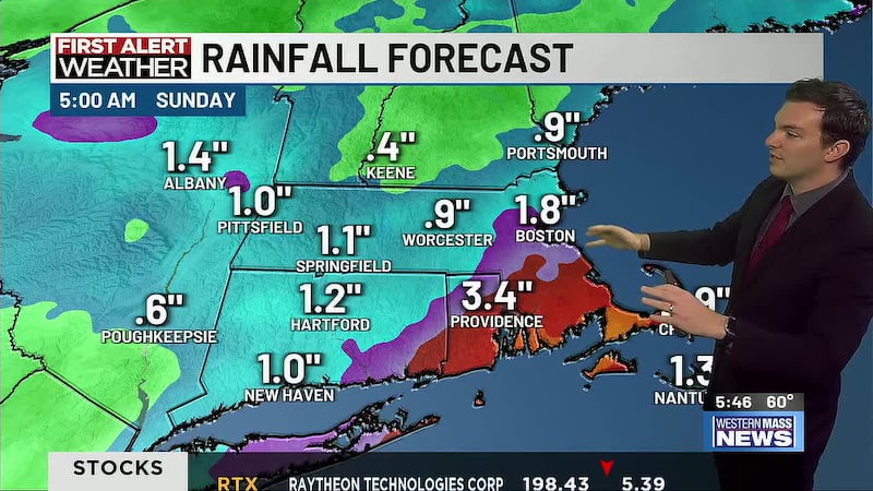
SPRINGFIELD, Mass. (WGGB/WSHM) - We saw a warm, humid start to the week with afternoon highs Monday around 80. Showers and thunderstorms came through with more heavy rain, bringing 2-day totals to 1-2+ inches for western Mass. Luckily we missed out on any severe weather.
Some partial clearing through sunrise with cooler, drier conditions, and an increasing breeze out of the northwest. Temperatures are down into the 50′s so you may even need a light jacket.
A cooler, drier and quite fall-like air mass builds in for the rest of the week thanks to a dip in the jet stream, an upper-level low moving over southern Canada and surface high pressure. Humidity lowers significantly Tuesday with dew points in the 40s! We will see clouds and sun mixed, a northwesterly breeze and unseasonably cool temperatures with highs in the lower 70′s, even 60′s across the hills.
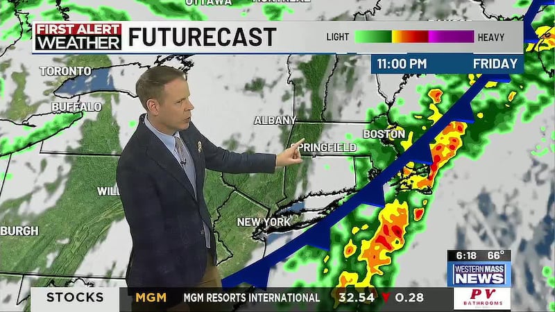
With dry air in place, we can expect cooler night with lows in the 40′s through Saturday morning! While our weather remains quiet, there is a chance for spotty showers Wednesday afternoon and evening as an upper-level disturbance rolls across New England.
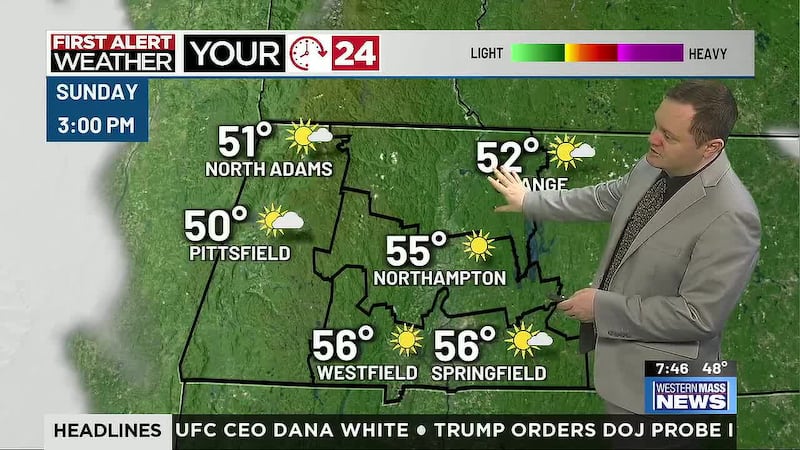
Surface high pressure shifts to our East by the end of the week, which will allow for a gradual warm-up. Highs Friday return to around 80 and into the middle 80s this weekend with a decent amount of sunshine and slowly rising humidity. A few showers are possible late Sunday, then each afternoon and evening the start of next week, the final week of Meteorological summer.
Copyright 2024. Western Mass News (WGGB/WSHM). All rights reserved.