Seasonable, Dry Weekend for Western Mass
Humidity Rises Slightly
SPRINGFIELD, Mass. (WGGB/WSHM) - A beautiful wrap up to a pleasant weather week here in western Mass! After an almost chilly start, temperatures rebounded fast and afternoon highs ended up in the upper 70s to low 80s. Very dry air has been in place today thanks to surface high pressure to our west, which will set us up for another cool, crisp night.
Skies remain clear to partly cloudy overnight with lows dropping back to the lower and middle 50s. Calm wind may allow for some patchy fog to develop late.
Saturday will be a seasonable day with 50s in the morning giving way to lower and middle 80s in the afternoon. Plenty of sun is on tap thanks to high pressure staying in control and we keep a nice breeze out of the west-northwest.
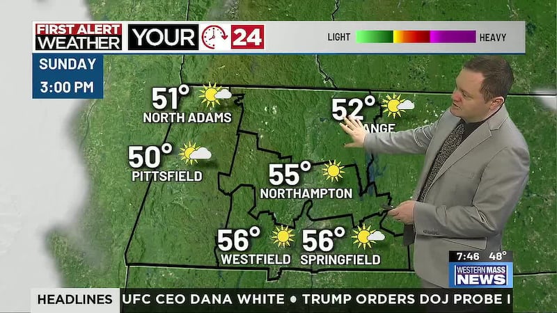
Dry air hangs on for much of Sunday, though dew points return to the upper 50s later in the day, which will add to the warmth. Afternoon highs should hit middle 80s in the Pioneer Valley with low 80s in the hill towns. Lots of sunshine in store with a low risk for a pop up shower in the afternoon.
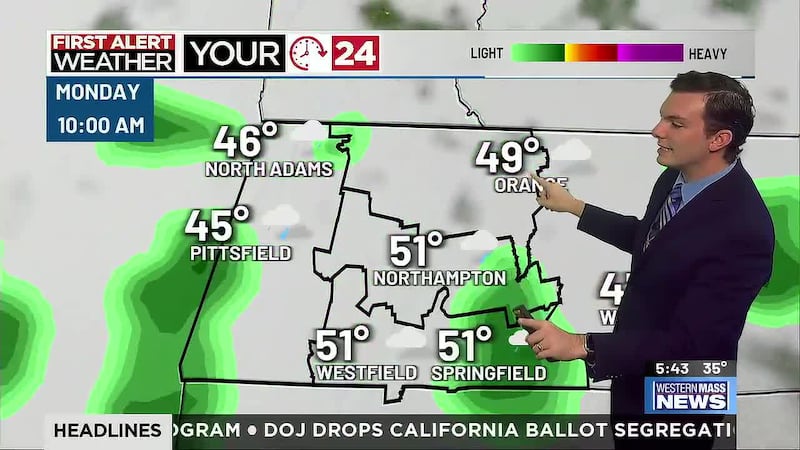
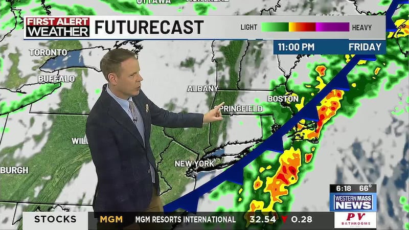
Shower and thunderstorm chances increase Monday as some upper-level energy shifts southward through New England. Not a guarantee for wet weather, but it’s our best shot at it in several days. Humidity will also be a bit higher Monday with dew points back in the 60s.
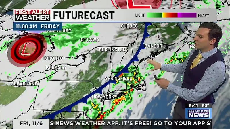
Warm, muggier conditions linger Tuesday and Wednesday with highs in the lower to middle 80s both days. Tuesday is looking mainly rain-free, but a cold front will bring another chance for scattered showers or a thunderstorm Wednesday. Drier, refreshing air builds in behind the front for the end of the week.
Copyright 2022. Western Mass News (WGGB/WSHM). All rights reserved.