Lots of Sun and Turning Seasonable This Weekend
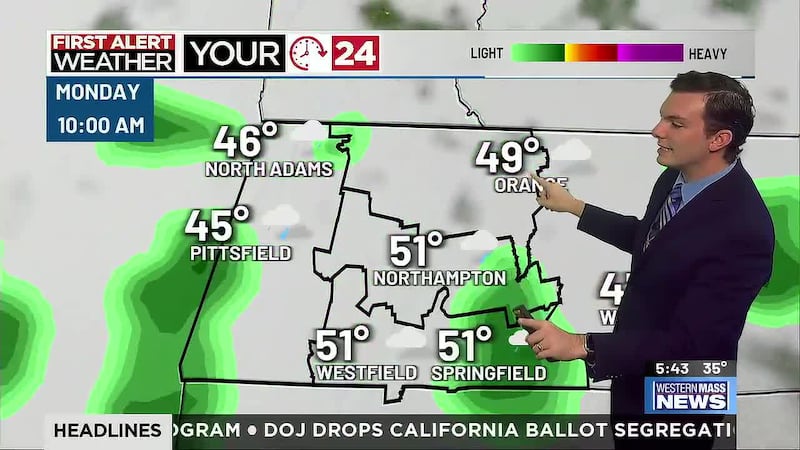
Rain Likely Early Monday Morning
SPRINGFIELD, Mass. (WGGB/WSHM) - The lower valley nearly hit 80 to start the week and we came very close again to end it! Afternoon highs hit the middle to upper 70s across the Pioneer Valley thanks to sunshine and a southerly breeze, along with an upper-level ridge of high pressure.
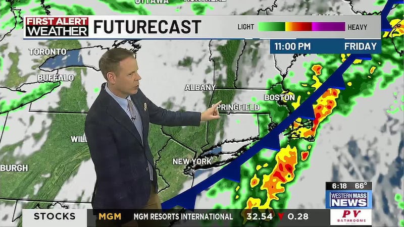
A cold front will move across our area overnight, bringing in more clouds and a low risk for a brief shower before sunrise. Measurable rain is unlikely. Temperatures fall into the middle 50s for many by sunrise.
Clouds will be decreasing Saturday morning and high pressure builds into the region with much drier air and abundant sunshine. Expect another warm day with highs in the lower to middle 70s, but also more of a crisp, fall-feel to the air. North wind may get to 10-15mph at times.
Temperatures cool in a hurry Saturday evening with lows falling into the low 40s by sunrise Sunday. We will have clear skies, which will be perfect for stargazing or looking for the Northern Lights-which are possible in our area.
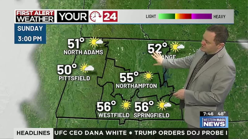
Sunshine and 70 degrees Sunday along with a light breeze and dry air will make for a Top 10 weather day to end the weekend!
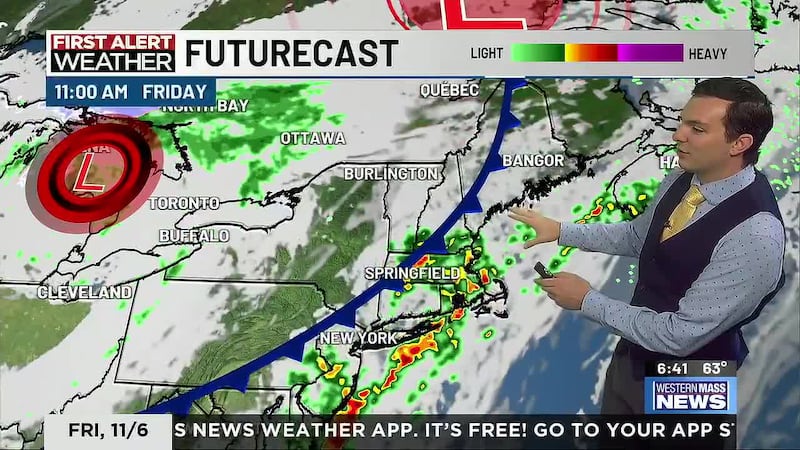
While the weekend weather is looking fantastic, we could certainly use some rain and we get a shot at it late Sunday night with a stronger front moving in. Showers move in overnight and linger through Monday morning with western Mass likely getting around a quarter inch with a chance of a half inch.
Behind the front, surface high pressure builds in with some of the driest air of the season, meanwhile a potent upper-level low will bring in some of the coolest air we’ve seen this fall. Sweater weather kicks in with a few breezy, cool days with highs in the lower to middle 60s and cold nights with a few widespread 30s!
Copyright 2024. Western Mass News (WGGB/WSHM). All rights reserved.