More Showers & Snowflakes Tonight, Then Blustery This Weekend
Rain, Hill Town Snow Showers Tonight Into Saturday
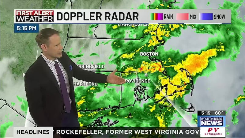
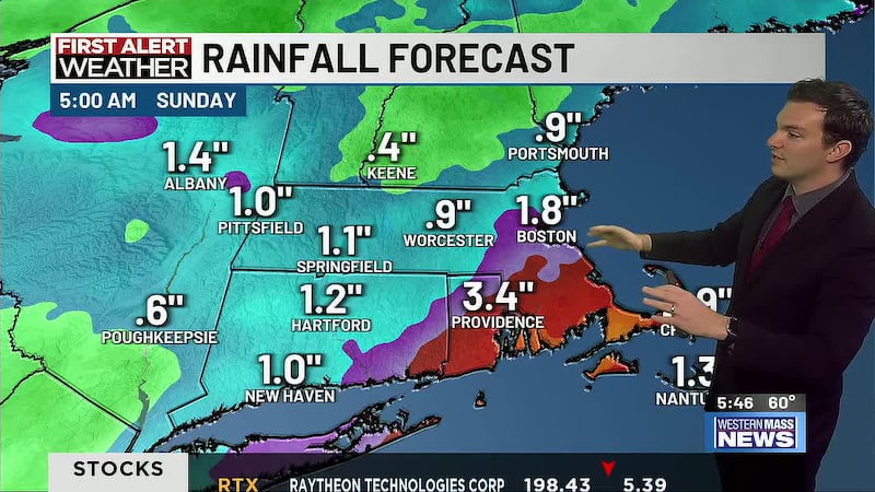
SPRINGFIELD, Mass. (WGGB/WSHM) - Rain totals across western Mass are now around 1-2 inches for most since Thursday morning. The same storm system continues to impact the region, bringing another swath of rain and high elevation snow overnight through Saturday morning.
Rain totals may near a quarter to half inch in the valley and some minor snow accumulations of a coating are possible in the hills on grassy surfaces. In the Berkshires, an inch or two could be seen.
Once low pressure moves off the coast, it will strengthen and head northeast. Rain and any snow will taper off from west to east Saturday morning. Wind out of the northwest will increase by the afternoon and evening with gusts approaching 30-40+mph. The hills could potentially get gusts up to 50mph. Skies remain mostly cloudy in the afternoon with highs in the 40s-but it will feel much colder from the wind.
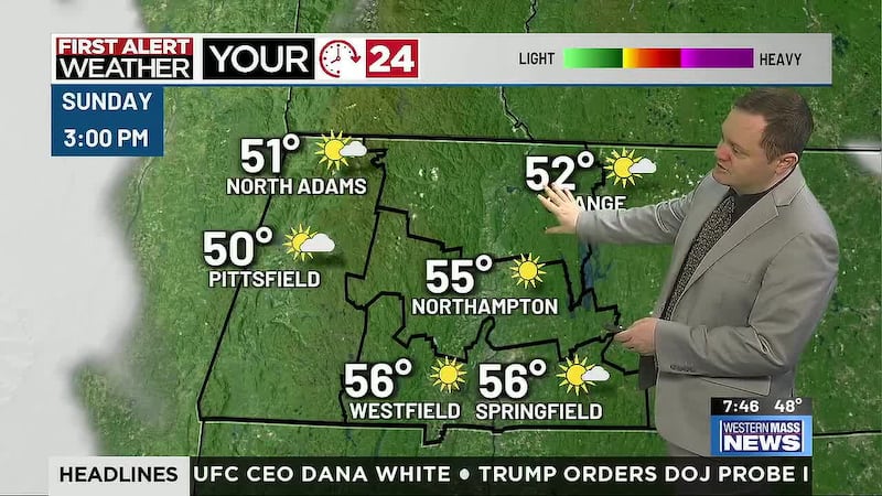
Blustery and cold Saturday night and gusty breezes continue Sunday with a west-northwest wind gusting to 25-35mph. Wind gradually eases later in the day with partly cloudy skies and seasonable temperatures.
High pressure will give us a nice day Monday, then a cold front crosses New England early Tuesday with scattered showers and more breezy conditions, but temperatures will be on the milder side of normal.
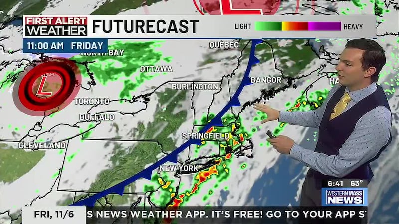
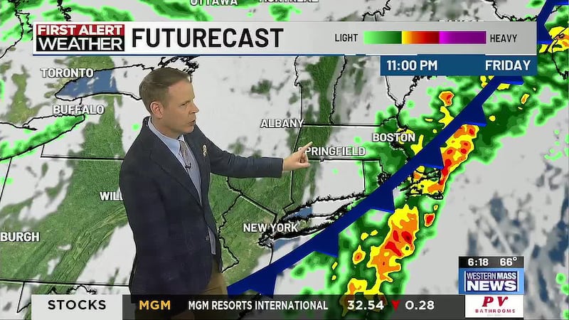
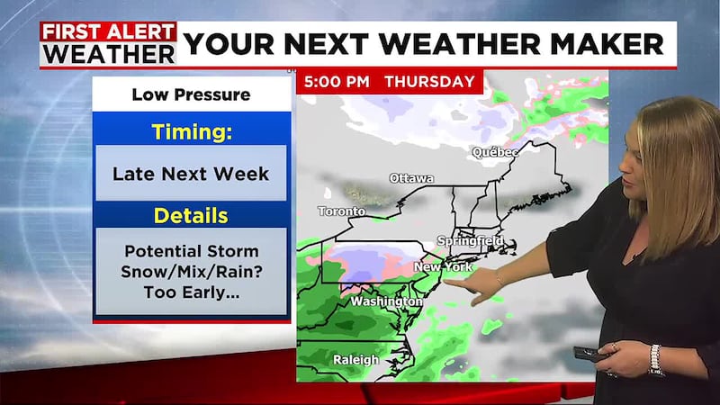
Hints of a more potent storm system are still showing up for late next week, but the details are quite uncertain this far out. Right now, Thanksgiving begins dry and could stay dry, though there’s a chance for wet weather later in the day. A possible coastal low would bring more widespread precipitation Friday with rain, snow or a mix of the two. Colder, windy conditions return for the remainder of the holiday weekend.
Copyright 2024. Western Mass News (WGGB/WSHM). All rights reserved.